Land surveying along Gravesend Reach
What surveys do, when you need one, and how they work in this corner of Kent.
An overview
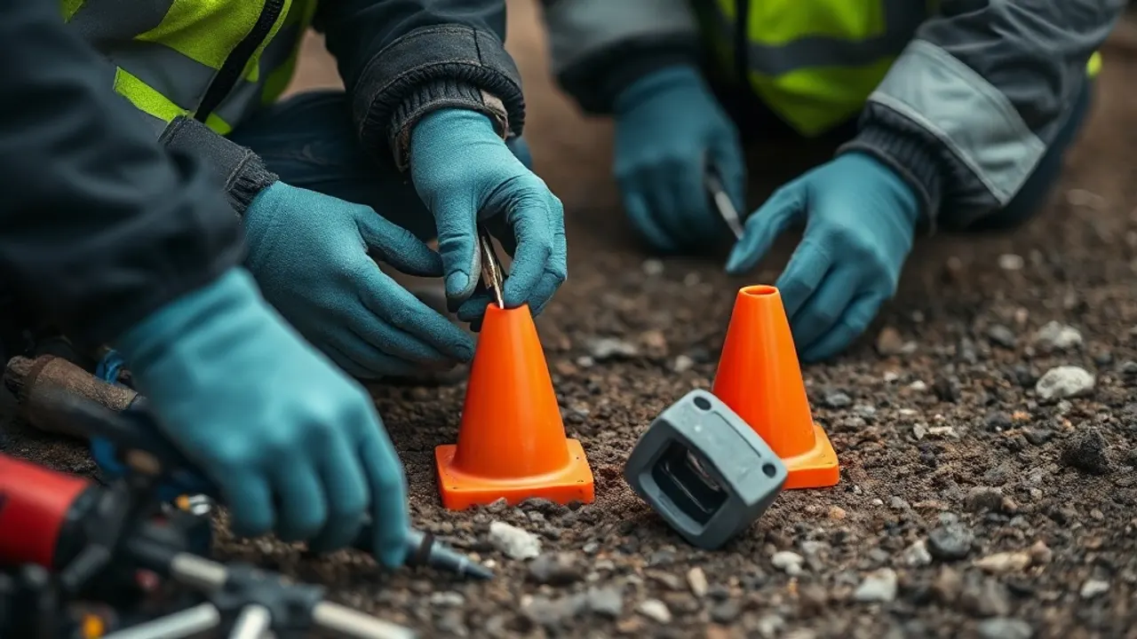
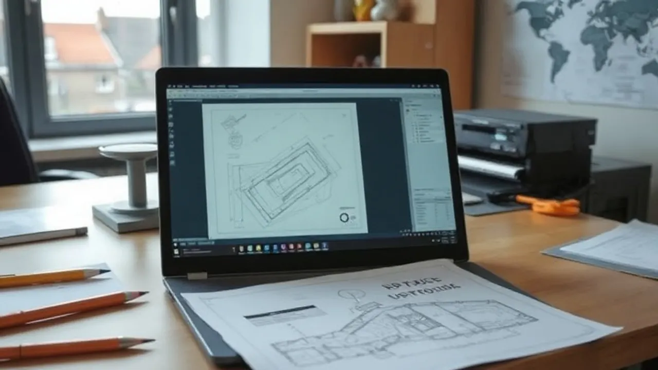
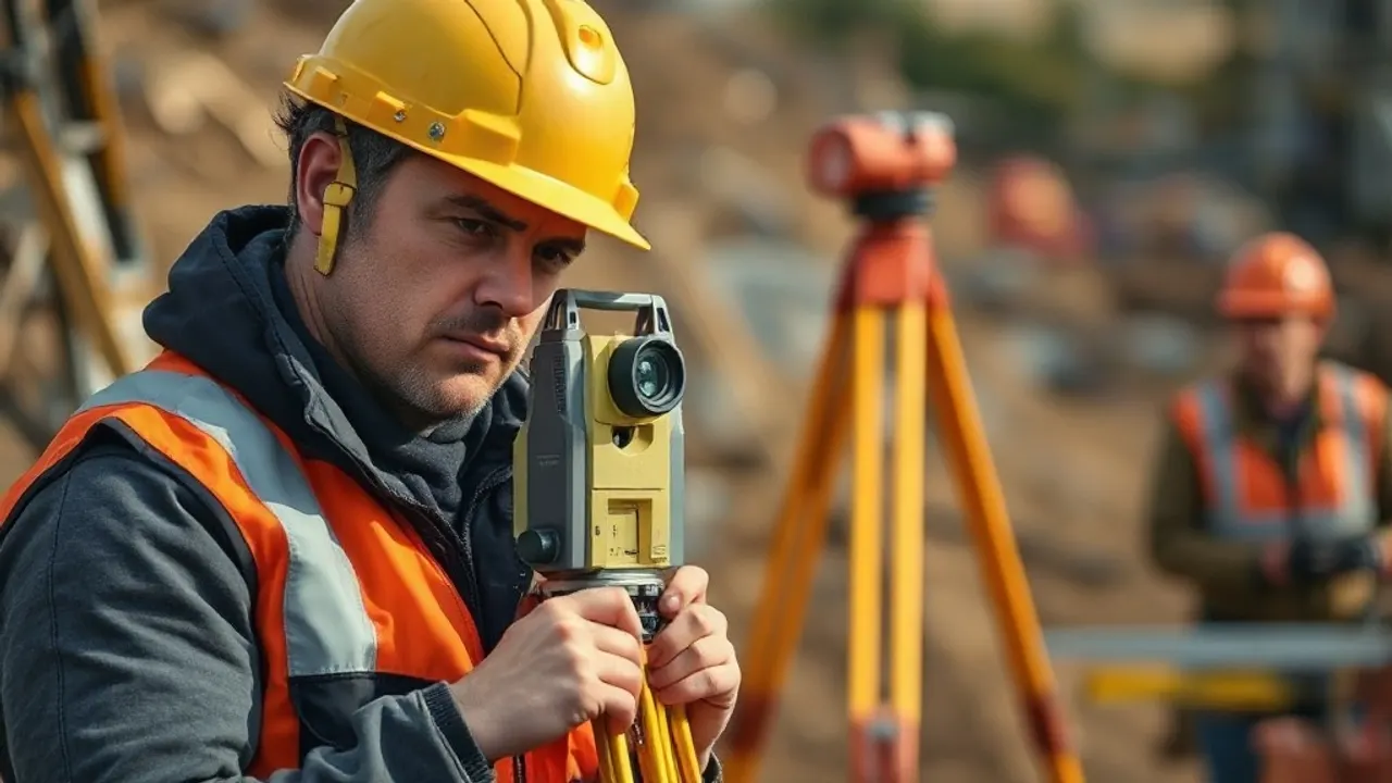
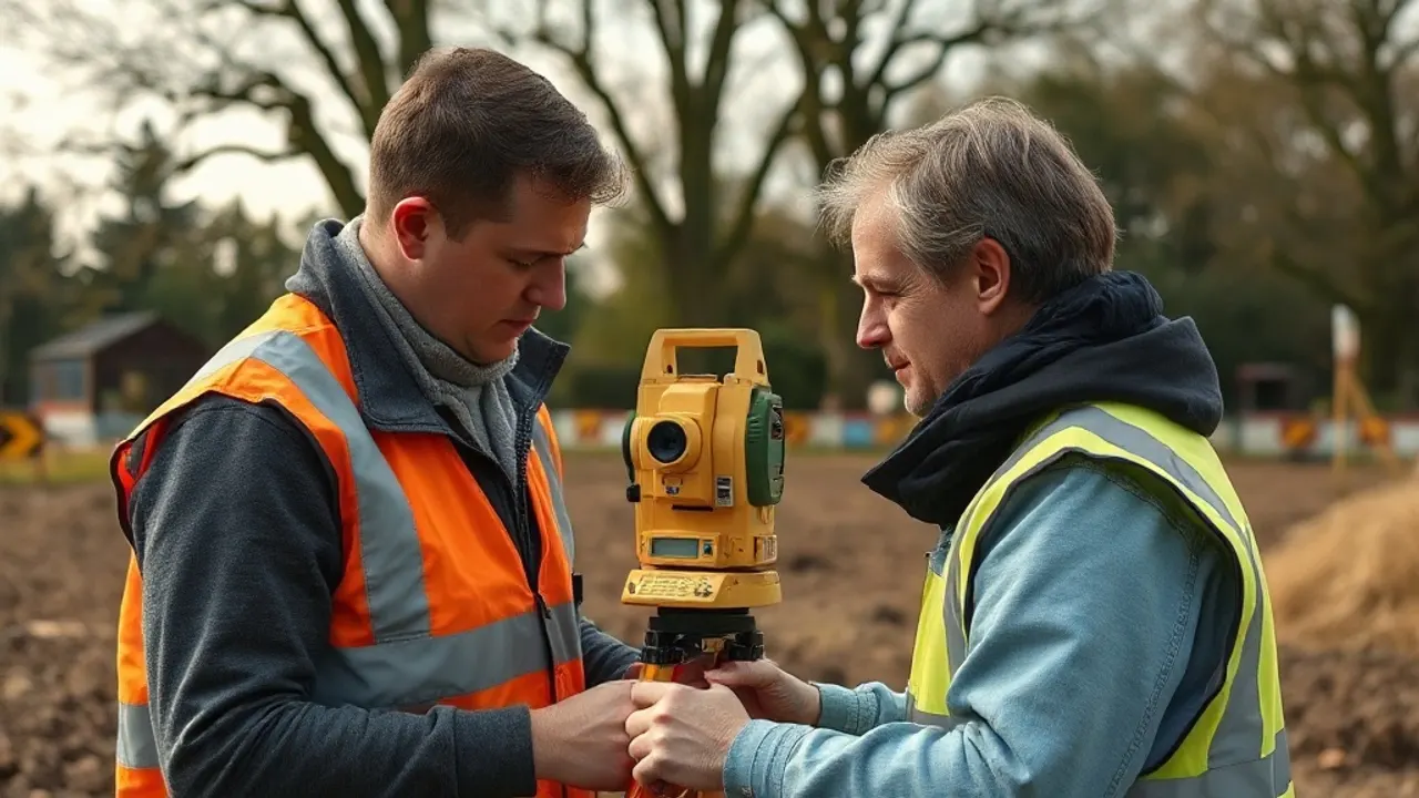
A survey is the measured picture you build everything else on — the topographical drawing before a planning application, the building record before a refurbishment, the boundary plan before a dispute hardens. We explain what each type produces and when it earns its place.
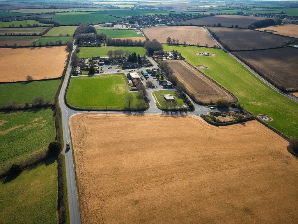
The work around Gravesend has its own character. Riverside ground at Dartford, the regeneration sites at Northfleet and Ebbsfleet, listed frontages in Rochester, the Chatham waterfront — all of it asks slightly different things from a surveyor. We've written about those places specifically, alongside the general methods.
If you've been handed a quote and you're not sure what topographical, measured building or setting-out surveys actually cover, start with the guides. They're written to make the decisions clearer before you commit to anything.
Articles
Surveying Dartford's Riverside, Brownfield and Development Land

Northfleet & Ebbsfleet: Ground, Site and Development Surveys
Measured Surveys for Rochester's Historic Streets and Listed Buildings
What Chatham's Waterfront Regeneration Needs From a Surveyor

Maidstone Development Surveys: Ragstone, River and Suburban Growth

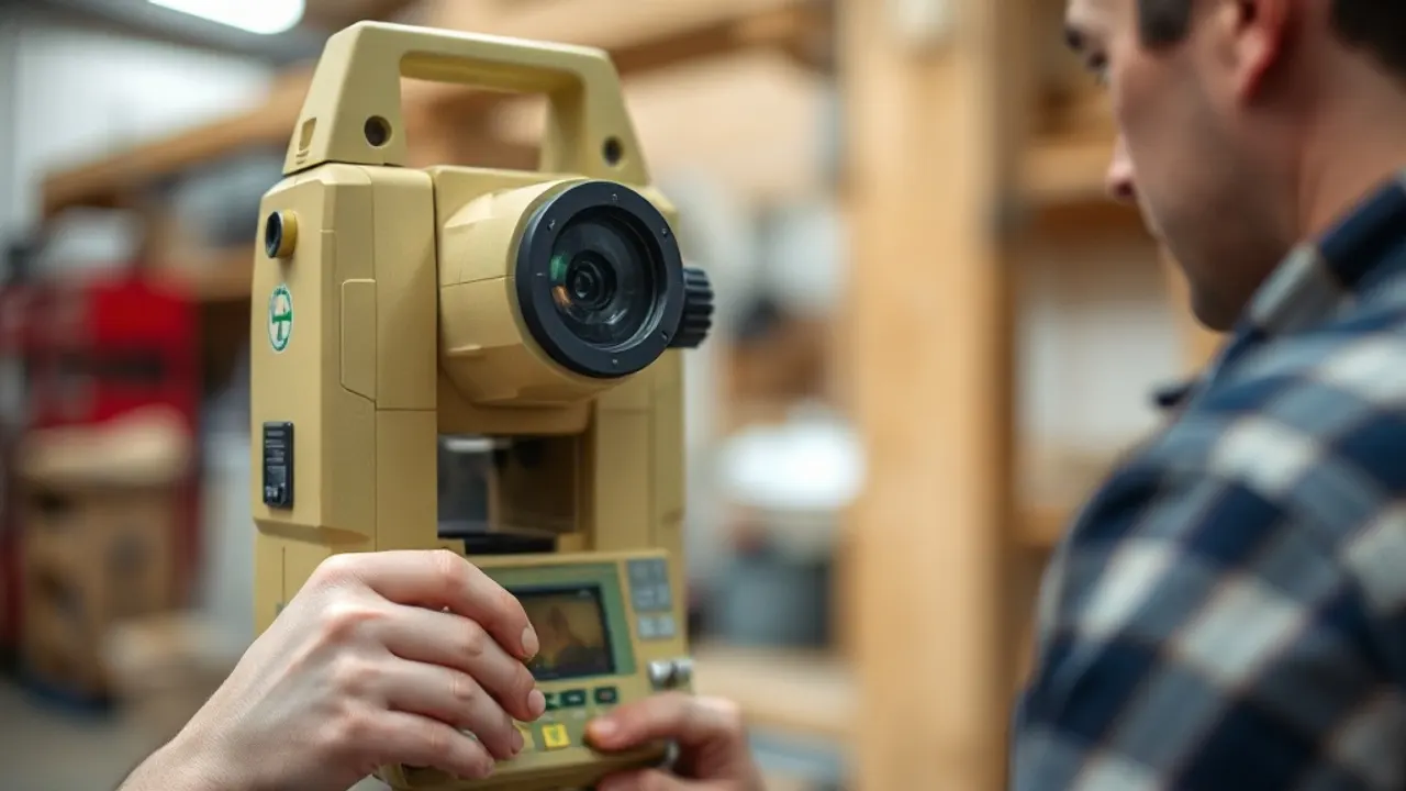
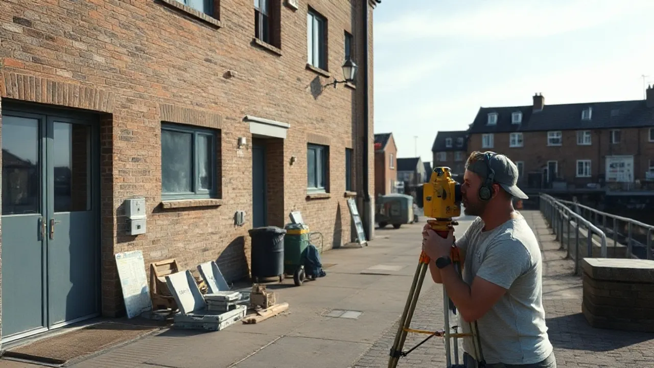
Land Surveying Explained: Methods, Outputs and When You Need One
Topographical Surveys: Mapping a Site Before You Build
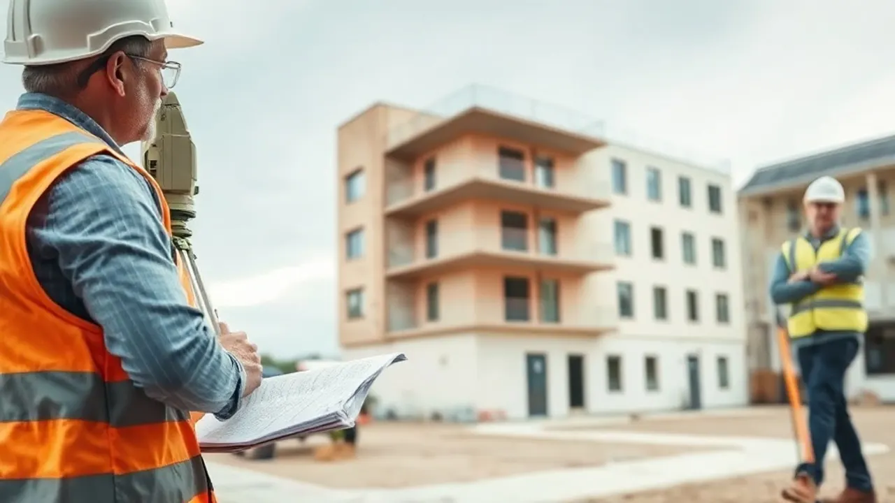
How a Measured Building Survey Captures a Property

3D Laser Scanning and Point Cloud Surveys
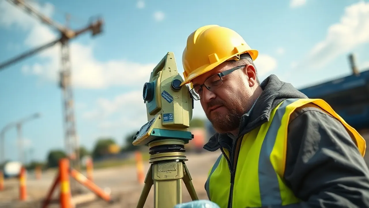
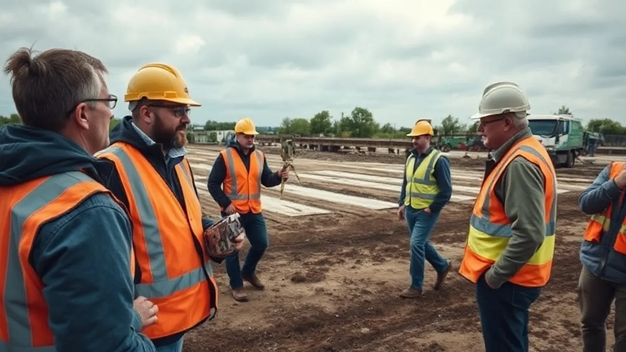
Setting Out and Engineering Surveys on the Construction Site

Locating Buried Services: Utility and GPR Surveys
Boundary Surveys, Land Registry Plans and Disputes