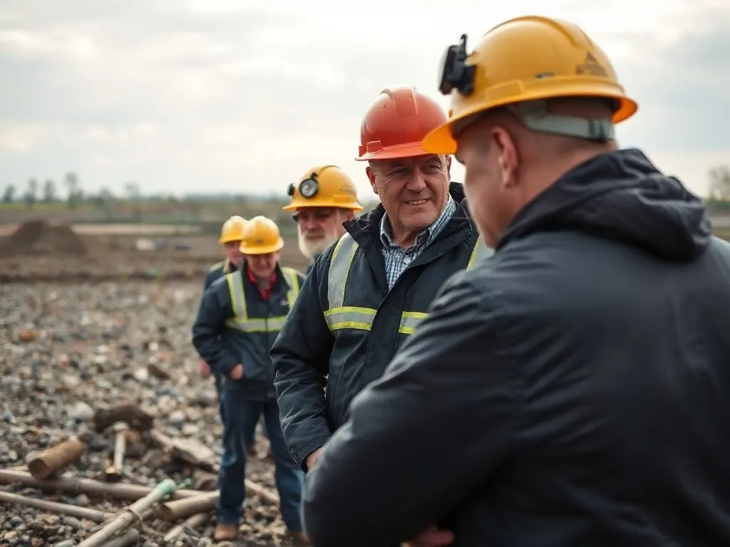
Development surveying in Maidstone covers the topographical, boundary and ground-condition work that supports planning applications and construction across the town and its surrounding parishes. In practice this means measured surveys of plots, level surveys tied to the local drainage and floodplain, and investigation of the ragstone bedrock that underlies much of the area. The mix of riverside levels, suburban infill and harder Kentish ground gives Maidstone a distinct set of survey concerns that differ from sites elsewhere in the county.

Where survey work clusters across the town
Demand tends to follow Maidstone's outward growth. The largest concentrations of topographical and development survey work sit on the urban fringe — Langley, Park Wood, Allington, Tovil and the corridors toward Bearsted and Sutton Valence — where greenfield and edge-of-settlement sites are released for housing.
Within the built-up area, the pattern is different. Here the work is dominated by suburban plot topographical surveys: a measured and levelled record of a single garden or back-land plot ahead of a small development or extension. These surveys capture existing buildings, trees, boundaries, drainage covers and changes in level so that a designer can position a new dwelling and a planning officer can judge its impact. Typical local triggers include:
- Back-garden infill plots in interwar and post-war suburbs
- Conversions and replacement dwellings near conservation areas and listed frontages in the town centre
- Larger phased sites on the periphery requiring topographical and boundary surveys before outline applications
- Commercial and light-industrial schemes around the M20 junctions and Aylesford
Ragstone geology and what it means on the ground
The mix of riverside levels, suburban infill and harder Kentish ground gives Maidstone a distinct set of survey concerns that differ from sites elsewhere in the county.
Much of Maidstone is built on Kentish ragstone — a hard, sandy limestone of the Hythe Formation that was quarried locally for centuries and gives the older town its grey-green stone walls. For a developer this hard bedrock is a mixed blessing. It generally provides firm bearing for foundations, but its variable depth, the presence of softer clay bands ("hassock") between the harder beds, and old quarry voids can complicate excavation and groundwork.
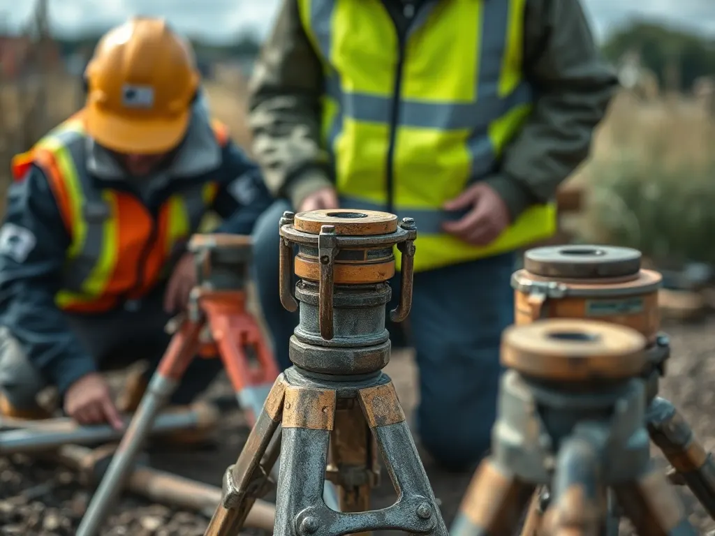
A topographical survey alone will not reveal these conditions, so ground investigation usually runs alongside it. Boreholes or trial pits establish how deep weathered or fractured rock extends and whether worked-out quarries lie beneath a site. This matters most on the ragstone ridge running through and west of the town, where historic extraction was extensive. A surveyor or geotechnical engineer will typically flag the need for this where a site sits over known quarry ground or where excavation for basements and services is planned.
Ragstone also affects boundary and party-wall matters because many older retaining structures and field walls are dry-stone or lime-bedded stone. An accurate measured survey of these features helps when a new build sits close to an existing stone wall that may need underpinning or protection.
The Medway valley, levels and drainage
The River Medway cuts north through Maidstone, and the low ground along it forms the Medway valley levels — flat, alluvial land that is prone to flooding. Sites in Tovil, around the bridges, and downstream toward Aylesford and Allington commonly fall within Environment Agency flood zones 2 and 3, meaning a flood risk assessment is usually required with any planning application.
This is where accurate level surveying becomes central. Finished floor levels, ground levels and the levels of any nearby watercourse or culvert must be recorded against Ordnance Datum so that a flood model and any compensatory storage can be designed. On valley-floor plots the difference of a few hundred millimetres in level can change whether a scheme is acceptable.
Surface-water drainage is the other recurring issue. Where ragstone lies near the surface, infiltration drainage such as soakaways may not work, so a survey will often note existing drainage runs and outfalls to inform a sustainable drainage (SuDS) strategy. You should expect a development survey near the Medway to combine topographical detail, established level data and drainage observations rather than treating them separately.
Last reviewed: June 2026