A heritage measured survey in Rochester is a precise, scaled record of an existing building or street frontage, produced to support work on historic and listed fabric. In a city centre where medieval, Georgian and Victorian buildings sit side by side along the High Street and within the conservation area, these surveys give architects, conservation officers and planners an accurate base drawing to work from before any design or consent application begins.
What heritage work in Rochester asks of a survey
Rochester's historic core packs a great deal of variety into a small area: timber-framed structures, brick frontages with rendered façades, jettied upper storeys and buildings that have been altered repeatedly over centuries. A survey here cannot assume square corners or level floors. It has to record what is actually present, including settlement, leaning walls and additions that were never built to a regular plan.
Because much of the city falls within or beside the conservation area, and many buildings are statutorily listed, the survey usually needs more detail than a standard property measurement. Window patterns, string courses, cornices and original openings all matter, because they often influence whether changes are acceptable.
Conservation areas and listed building consent
A heritage measured survey in Rochester is a precise, scaled record of an existing building or street frontage, produced to support work on historic and listed fabric.
A conservation area is a designated zone where the character and appearance of the place are legally protected. A listed building has additional protection covering its interior and exterior. Most works to a listed building need listed building consent, and many external changes in the conservation area need planning permission, even where they would be permitted elsewhere.
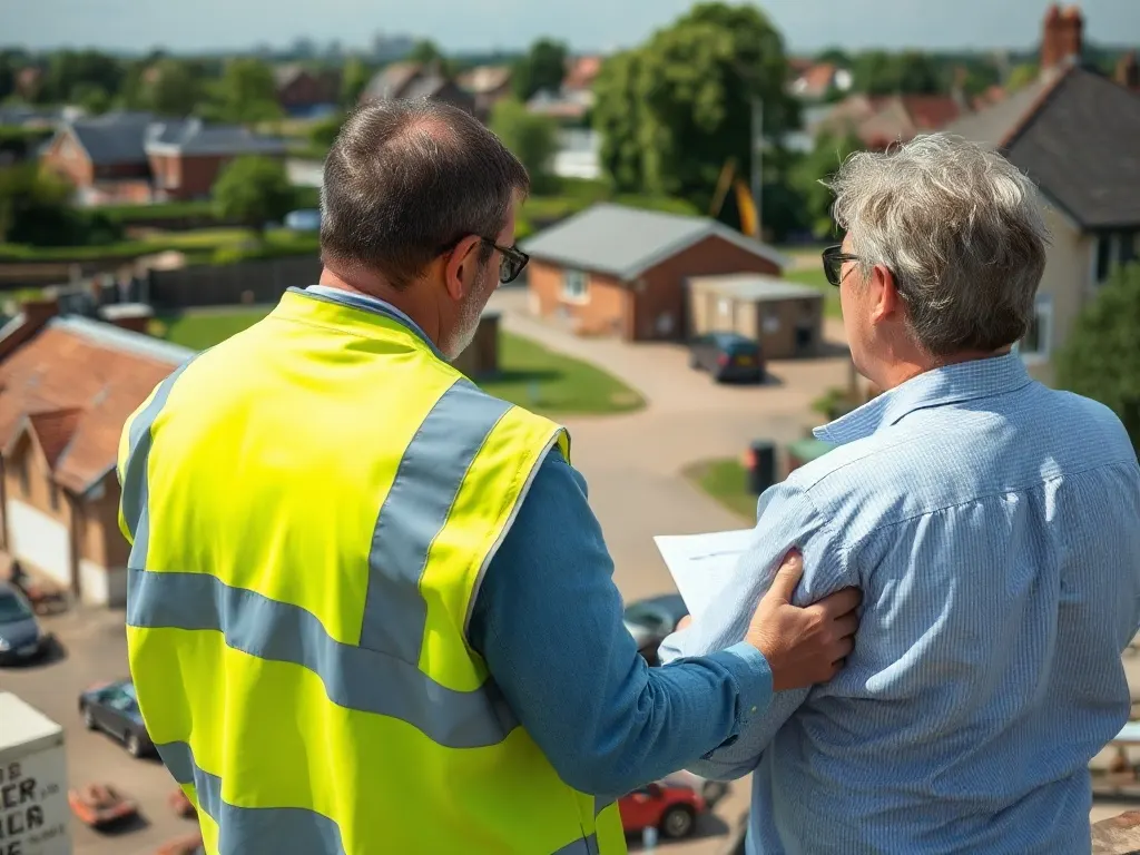
Accurate drawings underpin both applications. Medway Council's conservation team will expect existing-condition drawings that show the building honestly, so proposed changes can be judged against what is there. A measured survey provides the existing elevations and plans that proposed-scheme drawings are then overlaid onto, making the impact of any alteration clear.
Capturing irregular historic fabric accurately
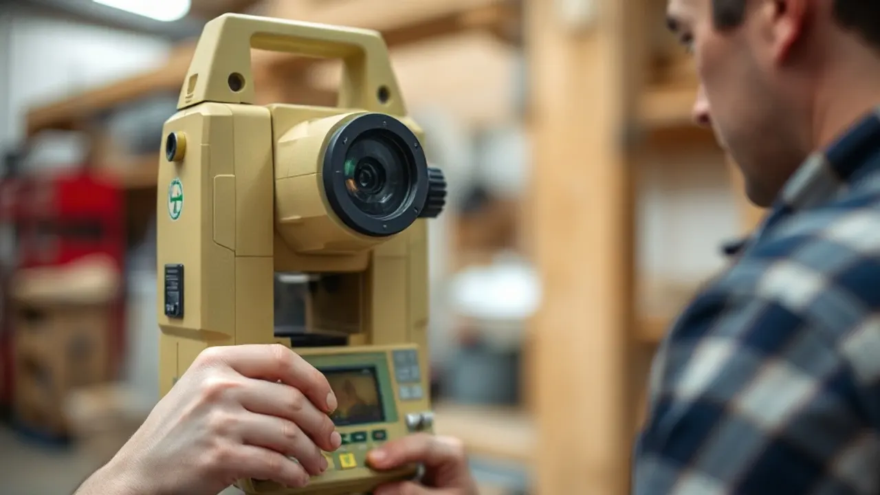
Older buildings rarely match their assumed dimensions, so a surveyor records the real geometry rather than tidying it. Common methods include:
- 3D laser scanning, which captures dense point measurements of a façade or interior quickly and is well suited to ornate or fragile surfaces;
- total station survey, used to fix control points and tie a building into its surroundings;
- hand measurement and photography to confirm detail in awkward spaces.
For a terraced High Street frontage, the relationship between neighbouring buildings often matters as much as any single property, so surveys may extend across party walls and along the street line to show how a building sits within the group.
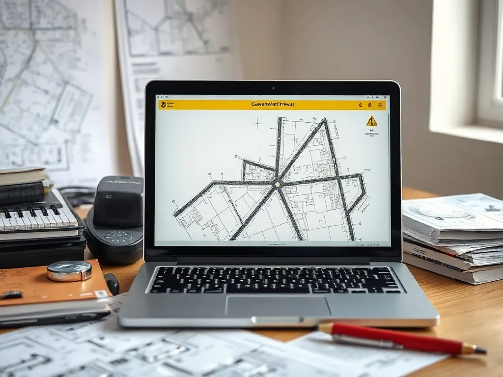
Elevations, sections and floor plans for old buildings
The core outputs are floor plans, elevations and sections. An elevation is a flat, head-on drawing of a wall face; a section is a cut-through view showing floor and roof levels, ceiling heights and structural build-up. For historic buildings, these drawings record sloping floors, varying ceiling heights and changes in wall thickness that a modern building would not show.
Reflected ceiling plans, roof details and joinery profiles may be added where decorative features are involved. The aim is a record that an architect or conservation officer can rely on without revisiting the site for every measurement.
How records support refurbishment and extension
Once an accurate existing-condition set exists, it serves the whole project. Designers use it to test layouts within rooms that are not square; structural engineers use sections to understand floor and roof construction; and applicants use it to demonstrate that a rear extension or internal alteration respects the building's character.
For Rochester properties, the same drawings often support repair schedules, party wall matters and conversations with the local authority. A clear baseline record reduces guesswork later, particularly when hidden fabric is exposed during work and decisions have to be made quickly.
Last reviewed: June 2026