A drone aerial survey uses a remotely piloted aircraft fitted with a camera, and sometimes a laser scanner, to capture overlapping images or point data of a site from above. Software then converts those images into measurable outputs — scaled maps, 3D models and volume figures — through a process called photogrammetry. It is a fast way to record large or hard-to-reach areas, and it produces a permanent, geo-referenced record that can be measured long after the flight.
What a drone survey captures
The raw output of a flight is a set of high-resolution photographs taken at regular intervals, each tagged with the drone's position and orientation. To produce a usable survey the images must overlap heavily — typically 70–80% along the flight line and 60–70% between lines — so that every point on the ground appears in several frames. This redundancy is what lets the software calculate position and elevation.
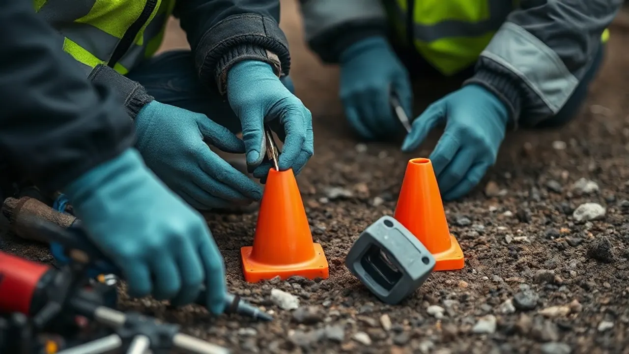
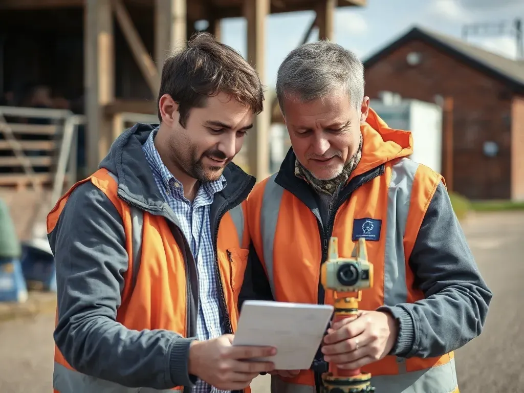
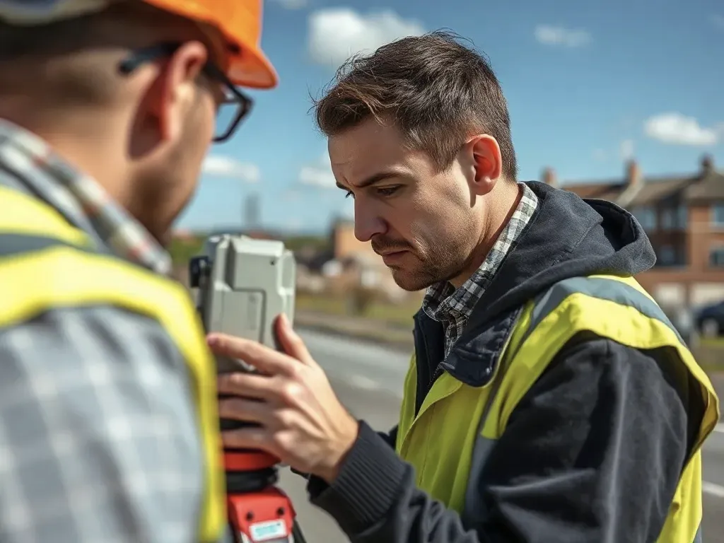
Alongside the photos, a survey usually relies on ground control points (GCPs): clearly marked targets on the ground whose exact coordinates are measured separately, often with a GNSS rover (a satellite-positioning instrument). These tie the model to a real-world coordinate system, such as the Ordnance Survey National Grid. Some drones use RTK or PPK positioning (real-time or post-processed kinematic GPS) to achieve centimetre-level accuracy with fewer ground markers, though a handful of checkpoints are still good practice.
What gets captured depends on the camera. A standard RGB camera records visible detail. Other payloads add value for particular jobs: thermal cameras for heat loss or solar inspection, multispectral cameras for crop health, and LiDAR (laser scanning) where dense vegetation needs to be penetrated to reach the ground surface.
Photogrammetry, orthomosaics and 3D models
A drone aerial survey uses a remotely piloted aircraft fitted with a camera, and sometimes a laser scanner, to capture overlapping images or point data of a site from above.
Photogrammetry is the science of taking measurements from photographs. By matching common features across overlapping images and knowing where each was taken, the software reconstructs the camera positions and builds a dense cloud of millions of 3D points. From that point cloud it derives the main survey products.
- Orthomosaic imagery — a single, seamless aerial photo of the whole site, geometrically corrected so that scale is consistent across the image. Unlike an ordinary photo, distances and areas can be measured directly from it.
- Digital surface model (DSM) — a grid recording the height of everything in view, including buildings, trees and plant.
- Digital terrain model (DTM) — the bare-earth surface with structures and vegetation stripped out, used for ground-level analysis.
- Contours and elevation data — derived from the height models for design and earthworks.
- Textured 3D mesh or point cloud — a navigable model used for visualisation, inspection and as-built records.
These outputs can be exported into CAD and GIS packages, so a surveyor or designer works with them inside familiar tools rather than as flat pictures.
Best uses, including stockpile volumes
Aerial capture suits sites that are large, open or awkward to walk. It is widely used for topographic surveys of fields and development plots, for monitoring construction progress, for roof and structure inspection where access is difficult, and for recording assets such as quarries, landfill and solar farms.
Volumetric measurement is one of the strongest cases. Once a site is modelled in 3D, the software calculates the volume of a stockpile by measuring the surface against a base plane or against an earlier survey. This gives quick, repeatable figures for aggregates, soil, waste or mineral stocks without anyone climbing the heap, which removes a real safety hazard. Comparing surveys taken weeks apart shows how much material has moved — useful for cut-and-fill earthworks and for reconciling deliveries against stock.
Aerial methods are less suited to confined indoor spaces, to surveys that need to see beneath dense tree canopy with a standard camera, and to jobs where only a few precise points are required — in those cases ground-based instruments are usually quicker and cheaper.
How accurate aerial results are
Accuracy depends on the flight height, the camera, the quality and number of ground control points, and the processing. A common measure is ground sample distance (GSD) — the real-world size of one pixel. Flying lower gives a smaller GSD and finer detail, at the cost of more images and longer flights.
With well-placed ground control and good conditions, horizontal accuracy in the region of one to three centimetres is achievable, with vertical accuracy typically a little coarser. Without proper control the model may look correct but drift from true position by metres, so independent checkpoints matter. Anyone commissioning a survey should ask how accuracy will be verified and what figure is realistic for the site, rather than accepting a headline number.
Conditions affect results. Strong wind, poor light, wet or reflective surfaces, and large featureless areas such as flat water or fresh tarmac all make feature matching harder. A good survey plan allows for these and may combine aerial data with a few ground-measured points to keep everything tied down.
Airspace and site considerations
Drone flights in the UK are regulated by the Civil Aviation Authority (CAA). Operators must hold the appropriate registration and follow the rules for their category of operation, keeping the aircraft within visual line of sight unless they hold a specific permission. Flights near airports, in restricted airspace, or over crowds and built-up areas carry extra requirements, and some locations need prior authorisation.
On the ground, a survey needs safe take-off and landing space and a plan for people, traffic and overflying third parties. Proximity to people not under the operator's control is restricted, so urban and occupied sites often require careful planning or cordons. Privacy and data-protection law also apply where images may capture individuals or neighbouring property.
Practical checks before a flight usually cover the weather window, battery and equipment condition, a risk assessment, and confirmation that landowner permission and any airspace clearances are in place. A clear brief on what the deliverables should be — orthomosaic, contours, volumes or a 3D model — helps ensure the flight is planned at the right height and overlap to meet the required accuracy first time.
Reviewed: June 2026