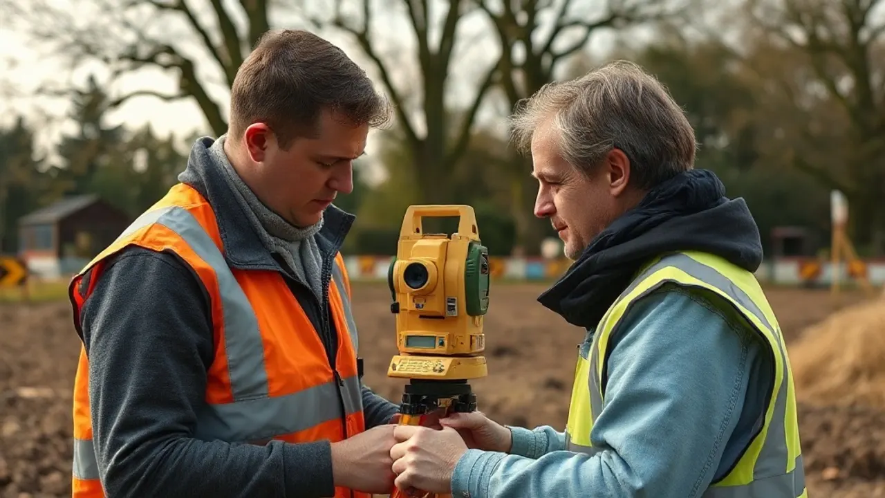
A boundary survey is a measured, professional assessment that locates a property's legal boundaries on the ground, using physical evidence, title documents and precise instruments. It produces a plan and a written interpretation showing where a boundary most likely runs, which is far more detailed than the broad outline shown on a standard Land Registry title plan. It does not, by itself, give a boundary the force of law — but it provides the evidence a court, the Land Registry or two neighbours need to reach an agreement.
What a measured boundary assessment actually establishes
A boundary survey gathers and reconciles several strands of evidence. A surveyor will take precise measurements of existing features — fences, walls, hedges, kerbs and buildings — and tie them to fixed reference points so the results can be reproduced. These measurements are then compared against the historic conveyances, registered titles, older deed plans and any physical markers found on site.
The output is usually a scaled plan showing the surveyed features and the surveyor's reasoned opinion of where the legal boundary lies. Where the evidence conflicts — for example, a fence that sits a metre off the line implied by an old conveyance — the report should explain the discrepancy rather than hide it. A competent survey distinguishes between what is measured fact and what is professional interpretation.
It is worth being clear about the limits. A surveyor establishes the most probable position of a boundary on the available evidence; they do not have authority to impose it. Two adjoining owners, a tribunal or the courts decide what is binding. The survey is the factual foundation, not the verdict.
Title plans and the general boundaries rule
A boundary survey is a measured, professional assessment that locates a property's legal boundaries on the ground, using physical evidence, title documents and precise instruments.
Most registered land in England and Wales is governed by the general boundaries rule. This means the red line on a Land Registry title plan shows only the general position of a boundary, not its exact legal line. The plans are based on Ordnance Survey mapping, and the red edging is deliberately approximate — it can represent a strip several centimetres or more wide, and it does not tell you which side of a fence the boundary falls.
This often surprises owners who assume the title plan is definitive. It is not. The rule exists because mapping a precise line for every property would be slow and expensive, and most boundaries never become contested. The trade-off is that, when a dispute does arise, the title plan rarely settles it on its own.
For owners who want certainty, the Land Registry offers a determined boundary procedure. This allows the exact line to be fixed and recorded against the title, supported by a precise plan that meets the Registry's accuracy standards. An application normally relies on a surveyor's plan and, in practice, works best where the neighbouring owner agrees or where the line can be clearly evidenced. A determined boundary replaces approximation with a recorded, exact line — but it applies only to the specific boundary determined, not the whole property.

When a boundary survey is worth commissioning
A survey is not needed for most properties most of the time. It becomes useful when the position of a boundary genuinely matters or is in doubt. Common triggers include:
- A planned extension, outbuilding or wall that will sit close to a boundary, where a few centimetres affect planning, the Party Wall process or future objections.
- A purchase where the land on the ground does not appear to match the title plan, or where features have clearly moved over the years.
- An application for a determined boundary, which requires a plan to the Registry's standard.
- A disagreement with a neighbour about a fence line, encroachment or right of way.
- Subdividing a plot or selling part of a garden, where a clear and accurate line protects both the seller and the buyer.
The cost and depth of a survey vary with the complexity of the site and the volume of historic documents to be examined. A straightforward suburban boundary involves less work than a rural plot with old, vaguely worded deeds and missing markers. Anyone commissioning one should ask what evidence the surveyor will examine, whether the report will give a reasoned opinion on the legal line, and how the deliverables relate to a possible Land Registry application or court use.
How disagreements between neighbours are approached
Boundary disputes are notorious for costing far more than the land in question, so the usual advice is to resolve them early and proportionately. The first step is normally to gather evidence calmly: the title plans for both properties, the original conveyances or transfer deeds, old photographs, and any independent record of where features once stood. Deeds often contain wording or measurements that the registered title plan omits.
Where positions still differ, an independent surveyor can be instructed to assess the line. The two neighbours sometimes appoint a single expert jointly, which is cheaper and tends to carry more weight than two opposing reports. The surveyor's interpretation gives both sides a factual basis for negotiation, and many disputes settle once the evidence is on the table.
If agreement is reached, it can be recorded formally — through a boundary agreement, an exchanged plan, or a determined boundary application — so the matter does not resurface for future owners. A written, signed agreement between neighbours can itself be binding even without altering the register, though recording it gives stronger long-term protection.
Where neighbours cannot agree, options include mediation, which is quicker and less adversarial than litigation, and, as a last resort, an application to the First-tier Tribunal (Property Chamber) or a court. The Property Chamber deals with disputed determined-boundary applications and certain other boundary matters. Legal advice is sensible before that stage, because costs escalate and the outcome can turn on technical points of conveyancing and evidence. Throughout, the practical aim is the same: establish the facts, keep the dispute proportionate to the value of the land, and avoid an entrenched conflict between people who will remain neighbours afterwards.

Last reviewed: June 2026