Land surveying along Gravesend Reach
What surveys do, what they produce, and when a project actually needs one.
What you'll find here
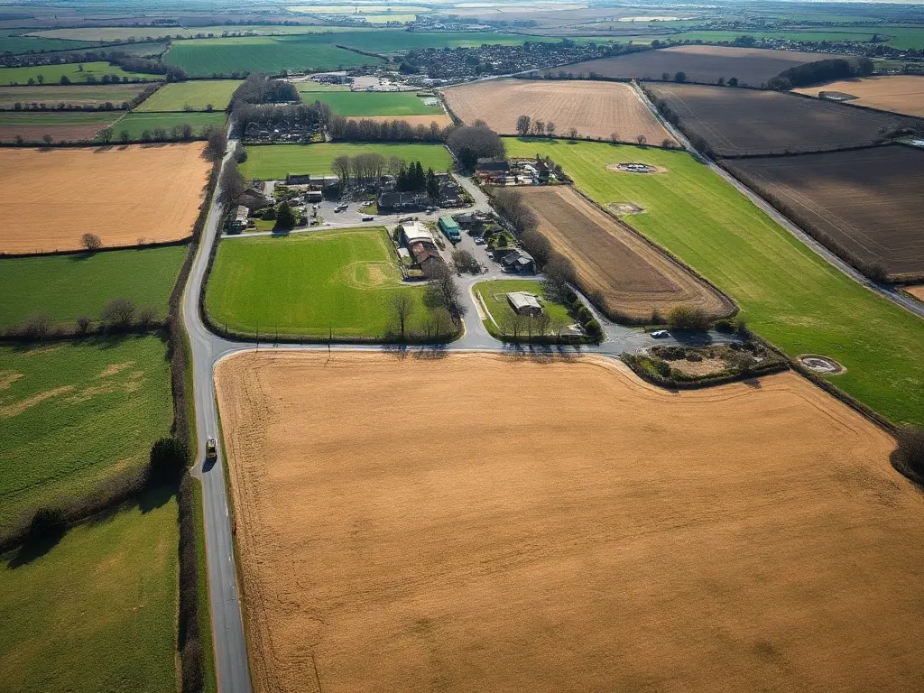
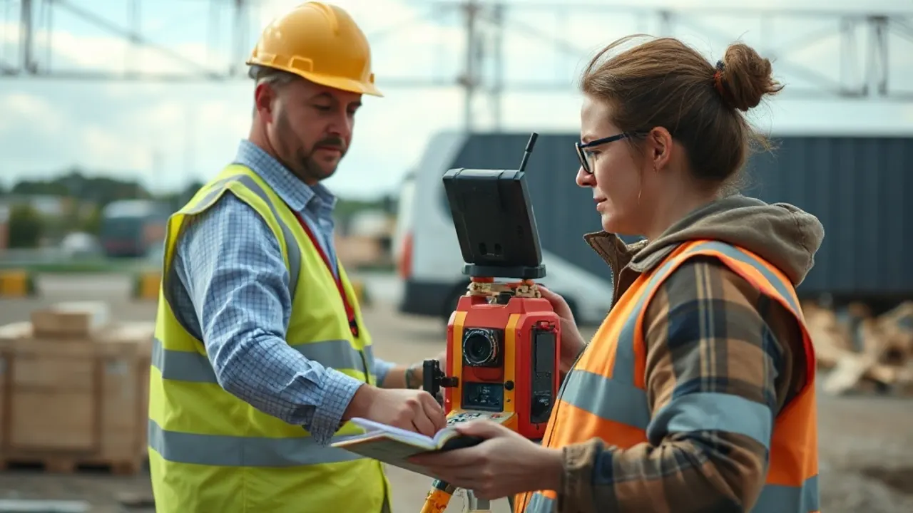
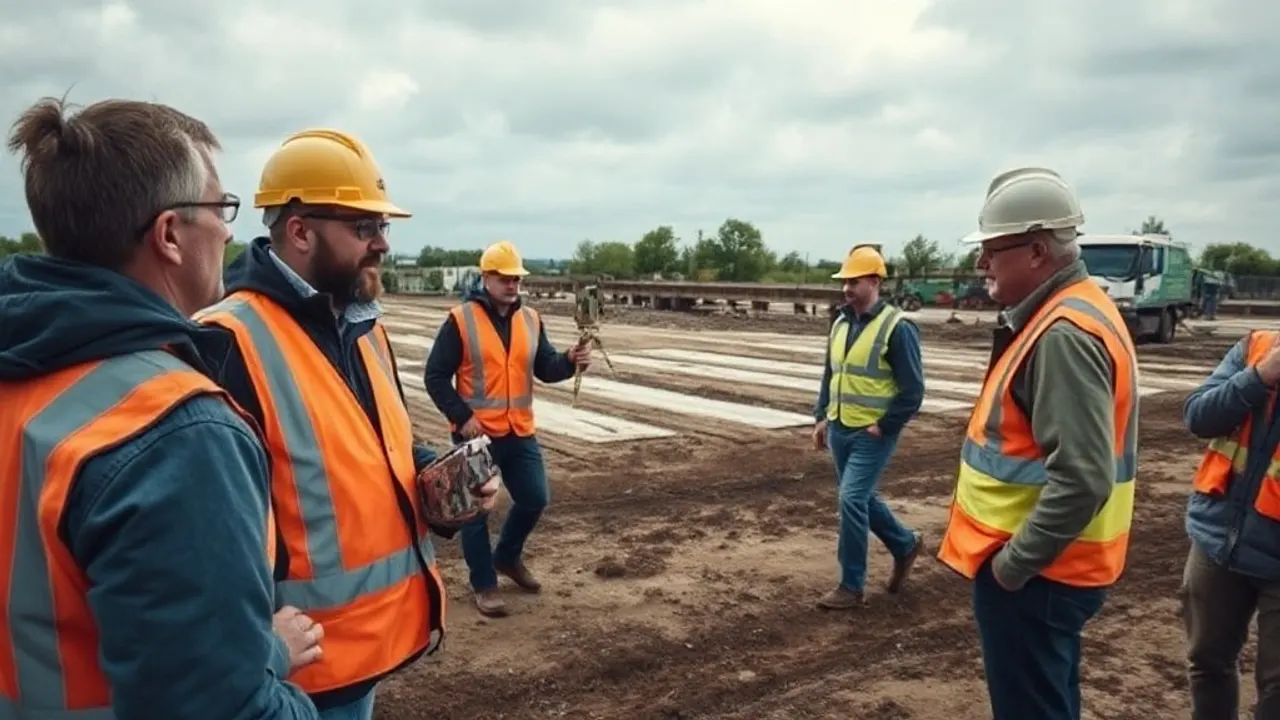
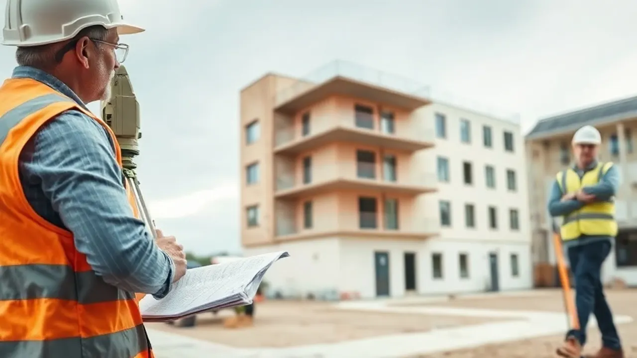
Gravesend sits on a stretch of the Thames where old wharves, working land and new development meet. Surveying here means dealing with riverside ground, awkward boundaries and buildings that have been altered more than once. We write about how that work is done and what it gives you.
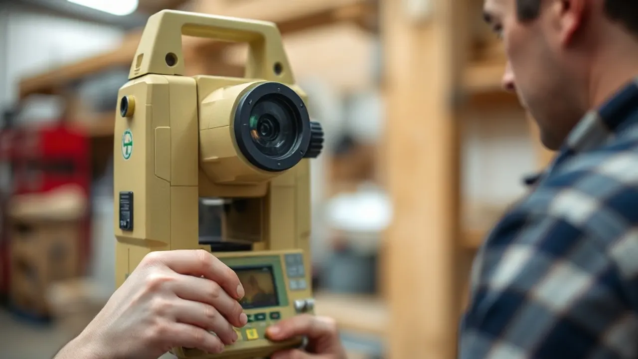
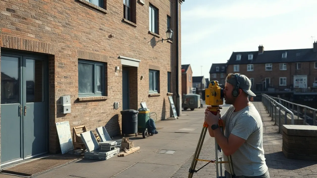
The guides cover the main types of survey you might encounter: topographical surveys before a build, measured building surveys, 3D laser scanning, setting out on site, and tracing buried services. There are also pieces on the places nearby — Dartford's brownfield land, Northfleet and Ebbsfleet, Rochester's listed streets, the Chatham waterfront, and Maidstone's growth.
The aim is to help you read a survey, understand its outputs, and know which one fits the job in front of you.
Browse the guides
Surveying Dartford's Riverside, Brownfield and Development Land
Northfleet & Ebbsfleet: Ground, Site and Development Surveys
Measured Surveys for Rochester's Historic Streets and Listed Buildings
What Chatham's Waterfront Regeneration Needs From a Surveyor

Maidstone Development Surveys: Ragstone, River and Suburban Growth

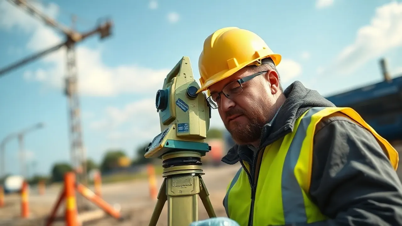
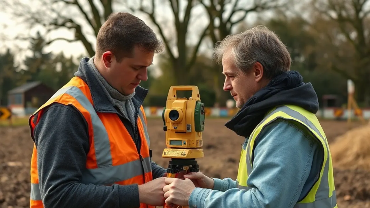
Land Surveying Explained: Methods, Outputs and When You Need One
Topographical Surveys: Mapping a Site Before You Build
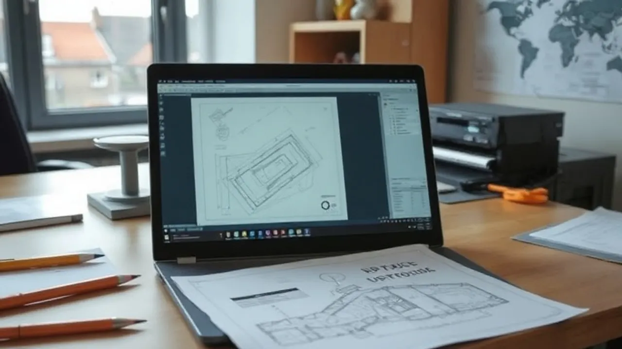
How a Measured Building Survey Captures a Property
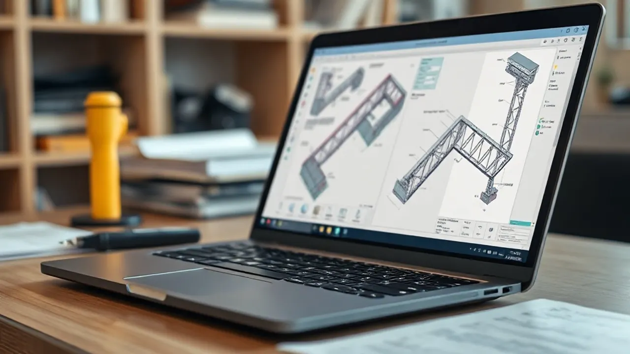
3D Laser Scanning and Point Cloud Surveys
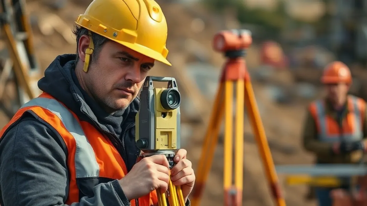
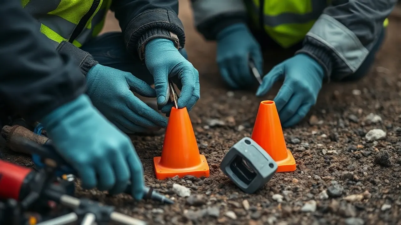
Setting Out and Engineering Surveys on the Construction Site

Locating Buried Services: Utility and GPR Surveys
Boundary Surveys, Land Registry Plans and Disputes